


| Back | |
The river is about 24 miles, or 39 kilometres, long. Its source lies in the mountains to the south of Tonypandy, near the town of Tonyrefail. The river's numerous sources rise in the eastern slopes of Mynydd Penygraig (Penygraig) and Mynydd y Gilfach (Penrhiwfer), and the western slopes of Mynydd Dinas (Williamstown), whose eastern slopes feed the Rhondda by Porth. The source of the Ogwr Fach lies just to the west. |
|
| Source wikipedia | |
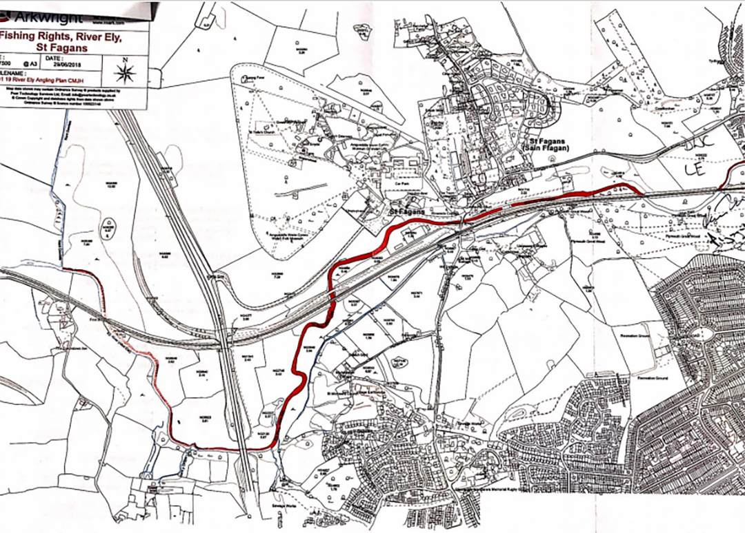
GAC fishing on River Ely Starts in the first field as you leave Fairwater, Cardiff on Cardiff Road (single North bank fishing only) for a short distance until the River goes under a railway bridge (circa 150m). The River returns into the next field from underneath another railway bridge. From here we have double bank fishing through and past St Fagans, under another railway bridge, until you reach circa 50m before the A4232 dual carriage way (circa 2.2kms of double bank fishing). From here the fishing is single bank North bank fishing of river only. This single bank fishing continues under the A4232 all the way to a point where the Nant Dowlais enters the River Ely just north of the village of St Georges (circa 1.7kms). |
|
| Map of the River Ely click to view larger | |
 |
|
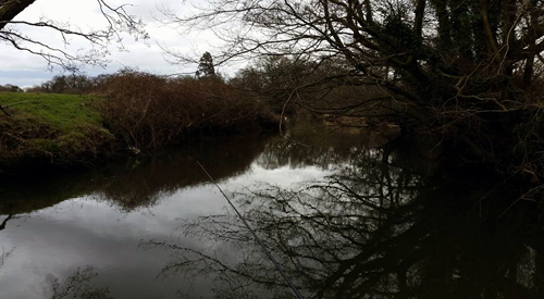
| Species Present: Chub, Roach, Brown Trout, Grayling, and Eels. | |
 |
|
| Image Graham Edwards | |
|